This article may contain affiliate/compensated links. For full information, please see our disclaimer here.
The Northern Walkway is a fairly long distance walk that takes approximately 4 hours to complete depending on your fitness. The aim of this guide is to inform you of everything that you need to know to complete the walk, and inspire you to get out there and walk it. Starting at Raroa train station in Johnsonville the walk travels through Johnsonville Park right to the top of Mount Kaukau where you get 360° views all over Wellington. The walk finishes up in the Wellington Botanic Gardens where you will be treated to beautiful views over the city centre. The walk treats you to spectacular vistas throughout, especially of the city centre, harbour and surrounding scenery.
Key Details
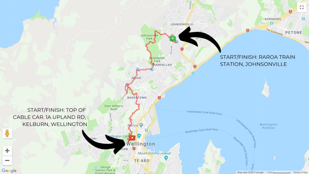
- Distance: 16km
- Time To Complete: 4-5 hours depending on fitness
- Elevation Gain: 552m
- Start and Finish: Raroa train station, Johnsonville and Upland Road next to the top of the cable car in Wellington Botanic Gardens. The address is 1A Upland Rd, Kelburn, Wellington
Travel To The Start and Finish
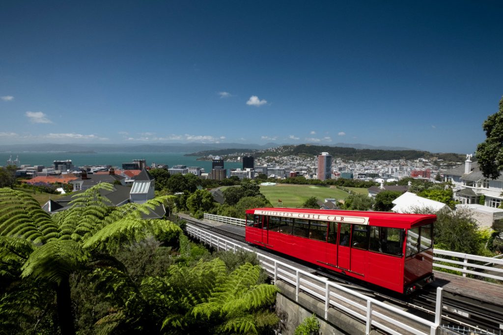
If you are travelling from the city to the starting point in Johnsonville you can catch the Johnsonville line train from Wellington Station to Raroa Station for $5. If you’d like to start from the Botanic Gardens within the city you can catch the cable car up to the starting point from the centre of Wellington in Lambton Quay also for $5. If you are walking from the city to Johnsonville you will be able to catch the train back to the city from the finishing point at Raroa Station. You can find out more about the public transport at the Metlink website.
If you are looking to drive to the start of the walk you can park at Johnsonville Park car park, which is on Truscott Avenue. If you park here you miss the first 1.6km of the walk but this is mostly through residential areas anyway so you won’t be missing out on too much. If you’re looking to park at the start in the Botanic Gardens you can park on Upland Road but be aware there is only limited parking here.
Navigating The Northern Walkway
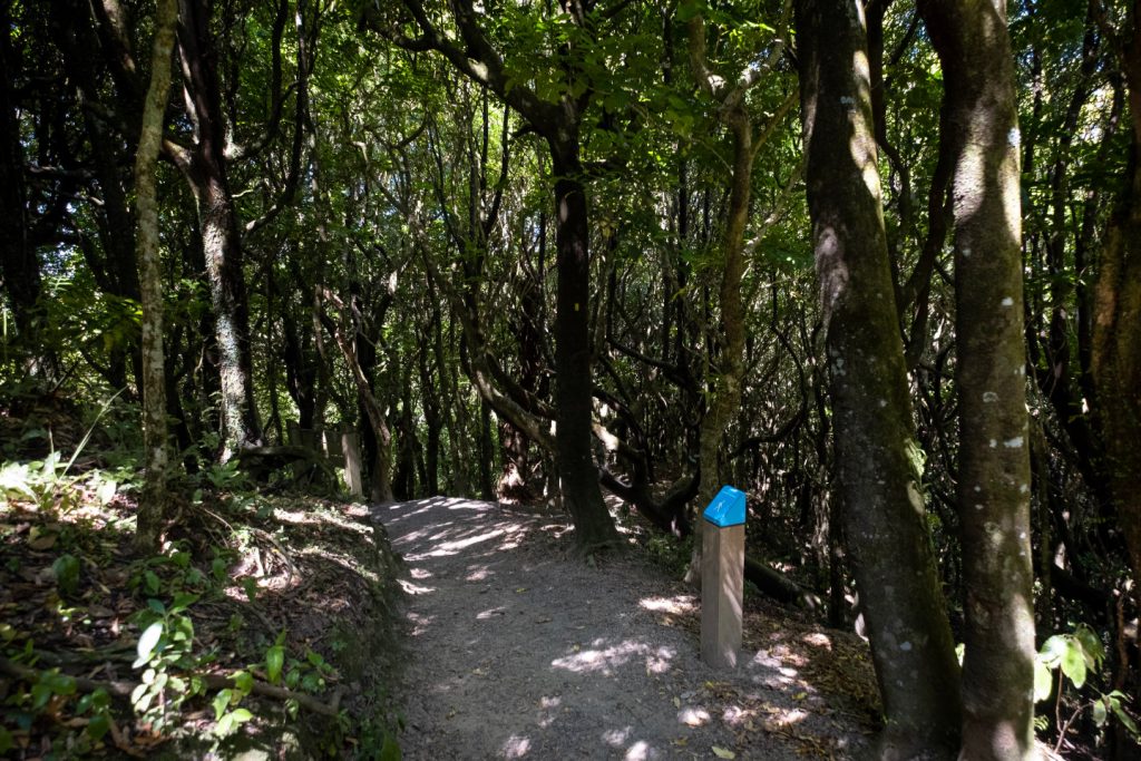
The walkway is extremely easy to navigate, you will be guided along by blue posts that say ‘Northern Walkway’ on the top of them throughout. The posts are periodically spread out along the route in a way that is very easy to follow. Starting from Johnsonville at Raroa station walk up the ramp to take you over the train tracks, this is where you will see the first blue Northern Walkway posts; from here onwards you should be able to follow the posts fairly easily. If you are starting from the top of the cable car you should be able to spot the first blue Northern Walkway post at the viewing area just outside from where you exit the cable car. If you are starting from the Cable Car the navigation posts will also have a Yellow Marker for the City to Sea Walkway as the two paths meet in the Botanic Gardens.
The Route
The start of the walk takes you through residential areas until you reach the entrance to Johnsonville Park. If you are thinking of driving to the start of the walkway you can miss the first 1.6km of the walk as Johnsonville Park has parking, you can find this at the end of Truscott Avenue.
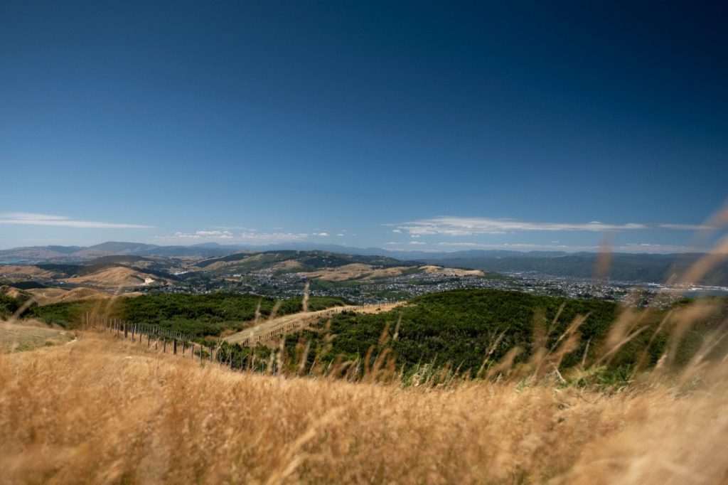
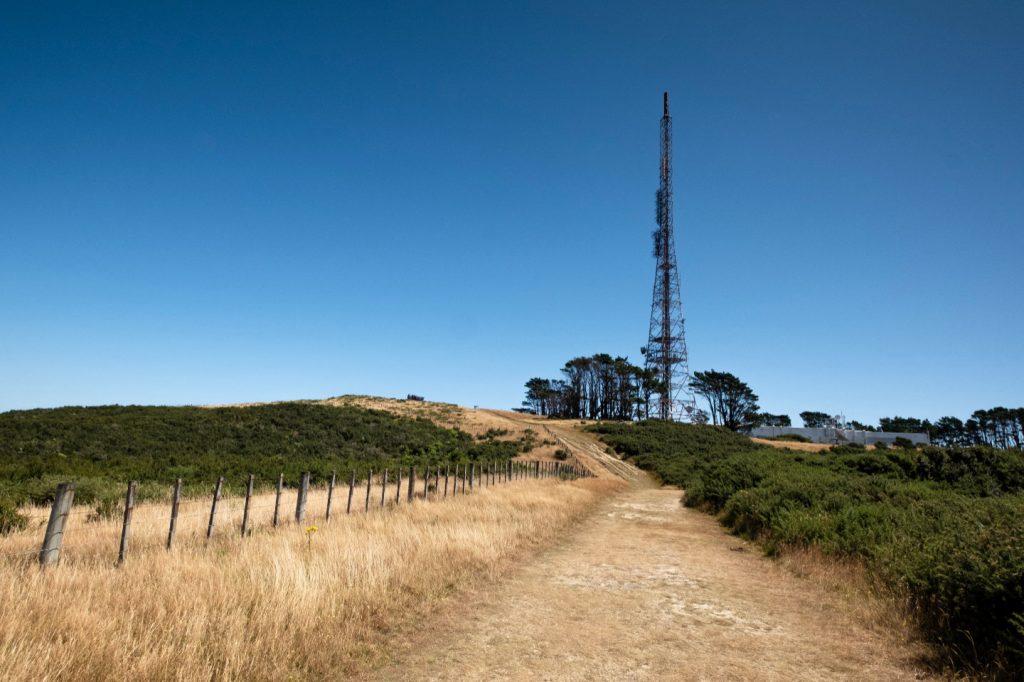
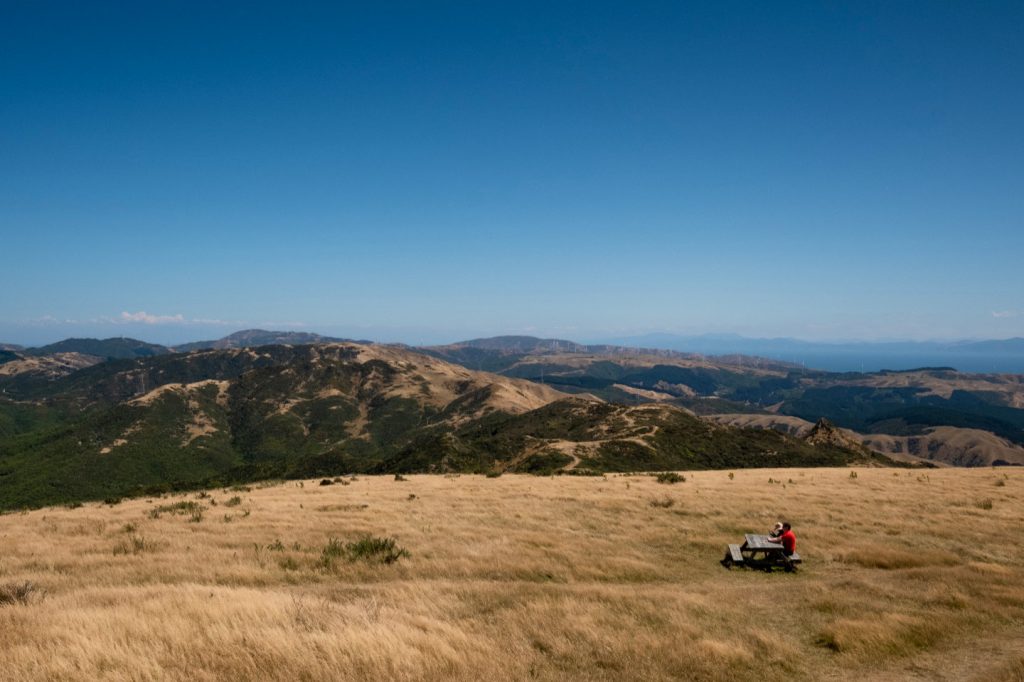
The walk through Johnsonville Park starts with a series of stairs and continues onto the top of Mt Kaukau, which is the highest point of the walk at 445M above sea level. As well as being the highest point of the walk I also think it’s the best part of the walk which is something to keep in mind when walking up all the steps to get to it as this can be quite tiring. From the top of Mt Kaukau, there is a lookout platform and various benches to enjoy a quick picnic with amazing 360° views all over Wellington including the city, harbour and mountain ranges.
Once you have soaked in all the spectacular views you can, you can continue on the walkway which takes you towards Khandallah. This part of the walk is mostly downhill and under the cover of the trees. When you reach Khandallah you will emerge from the cover of the forest of the Khandallah Reserve back into a residential area. From here the Northern Walkway takes you along various roads travelling through Ngaio until you reach Trelissick Park. The route through Trelissick Park is mostly under cover but offers a nice break from the sun if it’s a hot day.
From here you continue until you reach Wadestown, from Wadestown you travel through the northwestern end of the Wellington Town Belt. From Wadestown you get some amazing views of the city and the harbour, you can actually see into the top of the Westpac stadium from various points from here onwards. As you continue through the town belt you wander through some pretty vast forest until you end up on St Mary Street.
The end is almost in sight as you reach the Wellington Botanic Gardens. You enter the Botanic Gardens with Anderson Park on your left. If you’re completing the walk during the summer you might be able to see a game of cricket being played. Continue up through the gardens until you finally end up at the top of the cable car, this is the final point of the walk. This is a fantastic place to take in the views that the city has to offer. If you feel like continuing your walk, you can head onto the City to Sea Walkway which will take you all the way to Island Bay, otherwise, you could just catch the cable car back to the city.
Thoughts On The Walk
All in all, I thought the Northern Walkway had a lot to offer and I would definitely recommend it to anyone looking for new and exciting things to do while they are in Wellington. It is especially good if you enjoy hiking but are looking for a trail that is very close to the city centre. At times during the walk, I was amazed at the amount of beautiful scenery around me considering how close we were to the capital of New Zealand. If you get a chance definitely give this walk a go, you won’t regret it!
If you’re looking for some more great Wellington walks check out this article.
Pin It!
